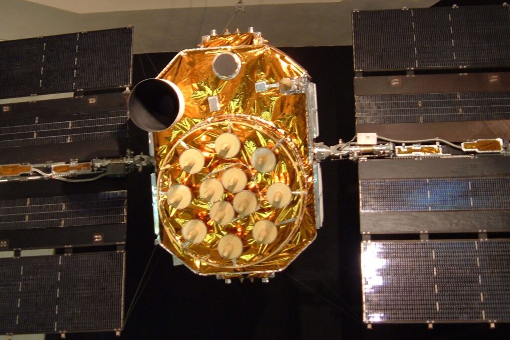
Clocks on GPS satellites run about 38 microseconds a day faster than clocks on the ground. Einstein’s relativity predicts it, and the system’s designers built a correction for it. Without that fix, the whole thing would drift into uselessness.
More than 30 satellites circle the Earth at an altitude of 20,200 kilometers, according to NOAA. Each one broadcasts its orbital data and the exact time the signal left. A receiver in a phone or a car picks up those signals, works out how far away each satellite is, and once it has four or more it knows where it sits. NOAA puts the usual accuracy at a few yards. Receivers that use the L5 band get down to about 30 centimeters, and survey-grade equipment reaches 2 centimeters.
The system has three parts: the satellites, the ground stations that monitor and control them, and the receivers. Nobody using GPS has to transmit anything back. It works without any phone or internet link, though those can help.
A Cold War project
The U.S. Department of Defense started the project in 1973. The money came from nuclear strategy, not from navigation. Congress saw little reason to spend billions on satellites for ordinary users, but the need to give ballistic missile submarines an accurate fix before launch justified the bill. That is also why the early program was so secretive.
The design drew on earlier work: the Navy’s Transit satellites, tested in 1960, its Timation clocks in orbit, the Air Force’s studies and the Army’s SECOR satellites. A prototype went up in 1978. The first Block II satellite launched on February 14, 1989, and the 24th followed in 1994. One estimate puts the cost to that point, launches included, at US$5 billion.
Civilians got access after Korean Air Lines Flight 007, a Boeing 747 carrying 269 people, strayed into Soviet airspace in 1983 and was shot down. President Ronald Reagan ordered GPS opened to civilian use once it was ready. For years the public signal was deliberately degraded, a policy called Selective Availability, which held civilian accuracy to about 100 meters. President Bill Clinton signed the directive turning it off on May 1, 2000.
Who runs it now
The U.S. Space Force owns GPS, and Mission Delta 31 operates it. Anyone with a receiver can use it. Wikipedia’s entry on the system notes that the Next Generation Operational Control System, a long-running upgrade to ground control, was canceled in April 2026. GPS III satellites are part of the modernization effort.
GPS is no longer alone. Russia’s GLONASS, China’s BeiDou and the European Union’s Galileo also give global coverage, and many receivers now combine several of them. The technical catch, as ever, is that whoever runs a navigation system can also degrade or switch it off over any territory it chooses.