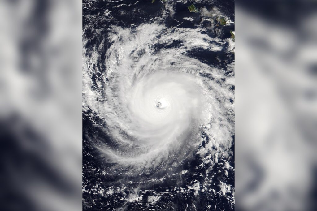
Honolulu, Oct 4 — Typhoon Nolo, previously a hurricane, has crossed the international dateline and is now moving westward through the Pacific. The storm is located approximately 640 kilometers west-southwest of Lisianski Island, moving west at 28 kph, according to the U.S. National Hurricane Center.
On Saturday, Nolo underwent rapid strengthening, reaching Category 3 hurricane status with maximum sustained winds of 185 kph. The transformation from hurricane to typhoon is not a change in strength, but a shift in nomenclature, dictated by the region in which the storm forms. In the Northwest Pacific, such storms are called typhoons, while in the Atlantic and central/eastern Pacific, they are hurricanes.
The South Pacific and Indian Ocean use the term tropical cyclone regardless of strength. John Cangialosi, a senior hurricane specialist with the National Hurricane Center, noted that the storm’s current trajectory is not a cause for immediate concern.
“The good news is there’s a large, vast ocean, so even though it is still going to be strong, it’s not near any land,” he said. Forecasters expect Nolo to continue moving west and remain far from any populated areas through Friday. The storm skirted Hawaii as a hurricane a week ago, losing some of its intensity before regaining strength on Friday.
Elsewhere in the Pacific, Hurricane Rachel continues its westward journey, staying on a path that avoids direct landfall but sending dangerous waves and swells toward the coasts of west-central Mexico and the Baja California Peninsula. With no immediate threat to land, the focus remains on tracking Nolo’s movement and ensuring that any future changes in its path are monitored closely.
As the storm continues its journey across the Pacific, the technical reality of its classification shift underscores the importance of precise terminology in meteorology — a detail that matters, even when the storm itself remains far from shore.